The next section of the World2 Tour was one that I was eagerly anticipating, and one that would bring me to my first new country on the route, Iceland. As it turns out, this portion of the Tour got off to a rather rough start. The reason for that involved two circumstances related to one of everyone’s least favorite aspects of modern life: air travel. One of these was out of my control, while the other I must admit to being complicit in its creation.
When I last looked up the cost and schedules for the air transfers I would need during the first part of the Tour, back in early 2019, there was one direct flight, twice a week, between Halifax, Nova Scotia, and Reykjavik, Iceland. This was the best choice for me, and was the main reason I chose Halifax as the end point for the previous section. However, when it came time to book the tickets, in early June, I was dismayed and disappointed that that flight was no longer available. I little further searching revealed that the aircraft previously used on that route were all 737-Max planes, and after their grounding due to recently-discovered design flaws, the route was no longer being offered. In addition, with the recent bankruptcy of the formerly Iceland-based discount airline, WOW Airlines, the cost for all the available flights to Iceland had increased significantly compared to just a few months earlier. My only option at that point was a connecting flight from Halifax to Boston, and then on to Reykjavik. Normally I dislike connecting flights that travel in the opposite direction relative to the final destination, especially with a bike as baggage, since they increase the total air-distance traveled. However, Halifax to Boston is a very short flight, so in this case I didn’t complain too much, and it was probably better to take that route, as opposed to using a plane that might fall out of the sky.
The bigger annoyance came as that first flight was about to touch down. When the crew made the announcement that landing had begun, and passengers should put away all of their belongings, I quickly moved to slide my Android tablet into my handlebar bag that was under the seat in front of me However, it decided not to slide into the bag, but instead slid out onto the floor, an event which went unnoticed by me, especially since on a small aircraft, like that one, a tall person, like me, can not actually see the floor when seated. Of course, I did not notice its absence until it was too late, after that aircraft had already pushed back from the gate for its next flight, and at that point I was not even sure if it was actually still on the plane, or if it had fallen out of the bag in the terminal, or worse, was lifted by some unscrupulous person.
Compared to most people today, I am not particularly attached to a mobile device, as mine has no cellular service, and is used primarily for other utilities. However, on a Tour like this one, those utilities are undeniably important, with all my maps, photo management, near-term travel documents, and most importantly, my ability to update this site, contained in its storage and list of applications. So I was understandably distraught and unsure about what the best course of action should be. Perhaps I should just consider it gone for good, buy a replacement, and start over from scratch. That was not very appealing, since I had previously put in a lot of time and effort to customize and streamline all the tasks that I would be using the device for. I put in a lost-and-found request with Air Canada, but, as I would later learn, the third-party missing item service they use is the epitome of uselessness.
However, much to my surprise, the following day Google was actually able to physically locate my tablet, and I still have no idea how that worked, given its aforementioned lack of cellular service. It was apparently somewhere in the airport in Gander, Newfoundland (perhaps it enjoyed that province so much that it decided to go back). Gander is a small town with a big airport, best known as a safe haven for diverted aircraft during the 9/11 events. Consequently, there are few services such as mail-and-ship centers in that town that could have been of assistance to me. Eventually, I made contact with the security office there, which has the airport’s lost and found desk, and the chief was able to confirm that my tablet was indeed there. However, arranging for it to be expressed-shipped back to me turned out to be a monumental headache. Apparently, when you live in country A, shipping an item from country B to country C is a non-standard procedure, and requires all sorts of extra paperwork and customs procedures.
That would not normally have been an excessive burden, assuming I had actually been able to communicate effectively with FedEx to work it all out. However, it is one of the more aggravating aspects of modern societies, that it is now assumed that everyone has a smartphone with them 100% of the time. Consequently, previously useful items like Public Phones and Internet Cafes have essentially met the same fate as the Passenger Pigeon. It would seem obvious that a certain level of those services should be maintained, even if only to be used in emergencies and other special circumstances, (like mine.) On several occasions, I opted to stay indoors in order to be able to use a hotel’s communication services to make arrangements or check on the status of things. Sometimes that worked, while on other occasions I was dismayed that a certain hotel had no working phones, and only had internet via wi-fi, meaning I was still effectively cut off, and wasted a night indoors.
Eventually, after one failed pick-up attempt, I finally learned that the package was in the air, and was scheduled to be delivered to a hotel in Reykjavik on the last day I was to be in the country, before my next transit to a new destination. With that in mind I was finally able to concentrate fully on all the normal matters of touring for a few days, without the added distractions. Of course, as usual, Murphy’s Law kicked in, and when I reached Reykjavik on that last day, and checked the status of the shipment, I learned that, for some reason, the box had sat in the UK for three days without moving, and would not be delivered until the next week. Consequently, in addition to not having the tablet during my entire time in Iceland, I would now be without it for the entire next section as well. Typical. Since I needed to return to Reykjavik again in two weeks for another air transit connection, I rebooked the same hotel for that day, and asked them to hold the box for me until I returned, which they agreed to do.
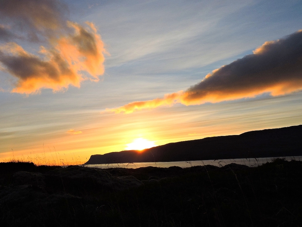
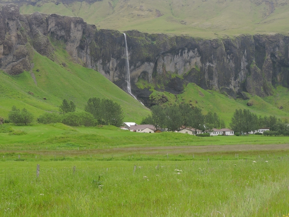
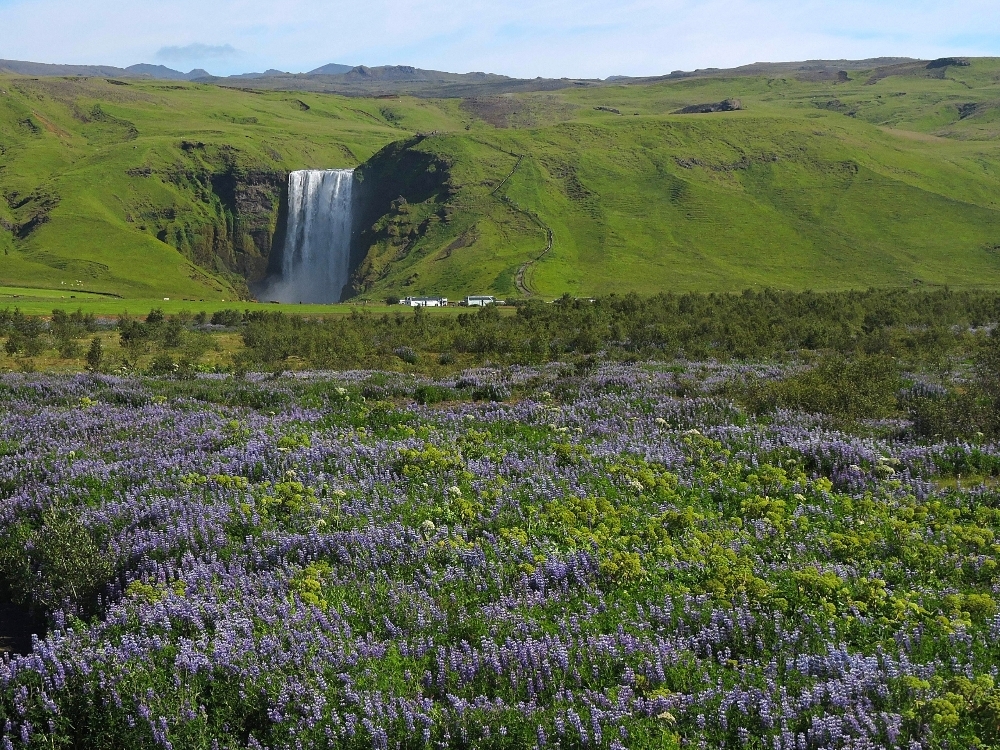
Putting aside all of that nonsense, here are some of my observations regarding the practicalities of touring in Iceland. As with most countries, there are both positives and negatives. On the plus side, the country is extremely beautiful, with a lot of magnificent scenery, made all the more interesting by its volcanic and tectonic origins. Impressively, the countryside is essentially spotless, without all the garbage usually seen lying about the roadsides in North America, and other places. Even more impressive is that the country manages to keep things looking tidy without any sort of lame Adopt-a-Highway program. Of course, the people are universally pleasant and friendly, and with the added bonus that just about everyone speaks English fluently. Topographically, the terrain, while hilly in many places, is never extremely severe and there are no really major climbs to tackle. An additional bonus when touring in July is that, though the Sun sets around midnight in most places, there remains a level of brightness akin to twilight throughout the night, meaning twenty-four hours of cycling without extra lighting could be possible. I intended to take advantage of that situation at some point and ride a double day’s distance to compensate for some of the delays I was having, but, for various reasons, that never really came about, and the latest that I was out cycling was a mere 10:30 PM. Finally, one benefit that compensated somewhat for being forced indoors so frequently was that, since the country has abundant water, and most municipalities heat it using geothermal sources, one is virtually guaranteed to have a intensely pleasurable shower in the evening.
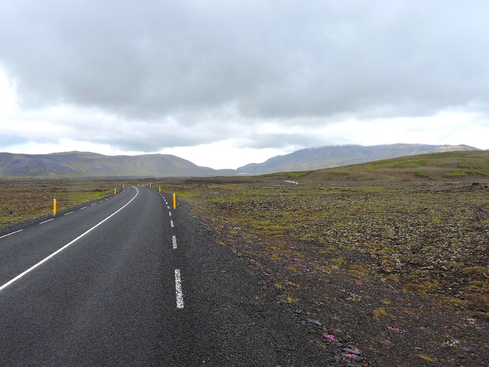
On the other hand, some aspects are less desirable for a touring destination. Somewhat surprisingly, for me, the country is highly auto-dependent, and, even though the nation’s population is small, compared to other countries its size, and mostly localized around Reykjavik, that fact affects the feel of most cycling days, just as it would in North America, or similar places. This is made worse because almost all the country’s roads are narrow, without shoulders, and some of those that do have shoulders have been ruined by rumble strips. In remote areas, with minimal traffic, that is not a problem (though many roads in those areas often have long sections of gravel surfaces,) but the majority of the country’s towns and places of interest are located along Highway 1, the Ring Road
that circles the island. In the southwestern quadrant, generally the area around the capital, the heavy traffic on such a narrow road leads to some rather unpleasant cycling conditions. Highway 1 is supposed to be much quieter in the less-populated north and east, however, there is no easy way to get to that part of the country without cycling through the more crowded regions, or by skipping over to that area by bus or airplane. A useful cycling map of the entire island (www.cyclingiceland.is) helps deal with these issues somewhat, but I didn’t have a copy until later on, when it didn’t matter as much. While the long days of July that far north can be quite pleasant, the island is not immune to foul weather even then, and storms, wind, and cold are always possible. Another factor that colors the feel of traveling in Iceland is its relatively recent boom in the tourism industry. In fact, Iceland frequently gets mentioned in discussions of the increasingly damaging phenomenon of overtourism. While I did not really feel the crowds were excessive at the main tourist destinations, I eventually realized that I was in the country for three or four days before I met any native Icelanders. That resulted from the fact that almost all of the workers in hotels, restaurants and basic shops were younger people from other parts of the World, who had traveled there to work during the busy summer season. The boom, and some other factors, have resulted in the biggest drawback to visiting the island. Namely, the country is seriously expensive. I knew this would be the case, somewhat, before starting the Tour, but I was still taken aback by the costs involved. At first I thought my math skills might be failing me when it came to mentally converting Kronurs to Dollars when making small purchases of snacks as basic food items, but, no, I frequently spent more on a fast-food-style lunch than I would have for a whole day’s worth of food at the start of the Tour
Taking all of that together, I think Iceland can be a nice bicycle touring destination. Indeed, I saw many other people touring, especially along the more mainstream tourism-oriented south coast. However, I tend to think that it would not be a particularly good choice for someone who is a novice.
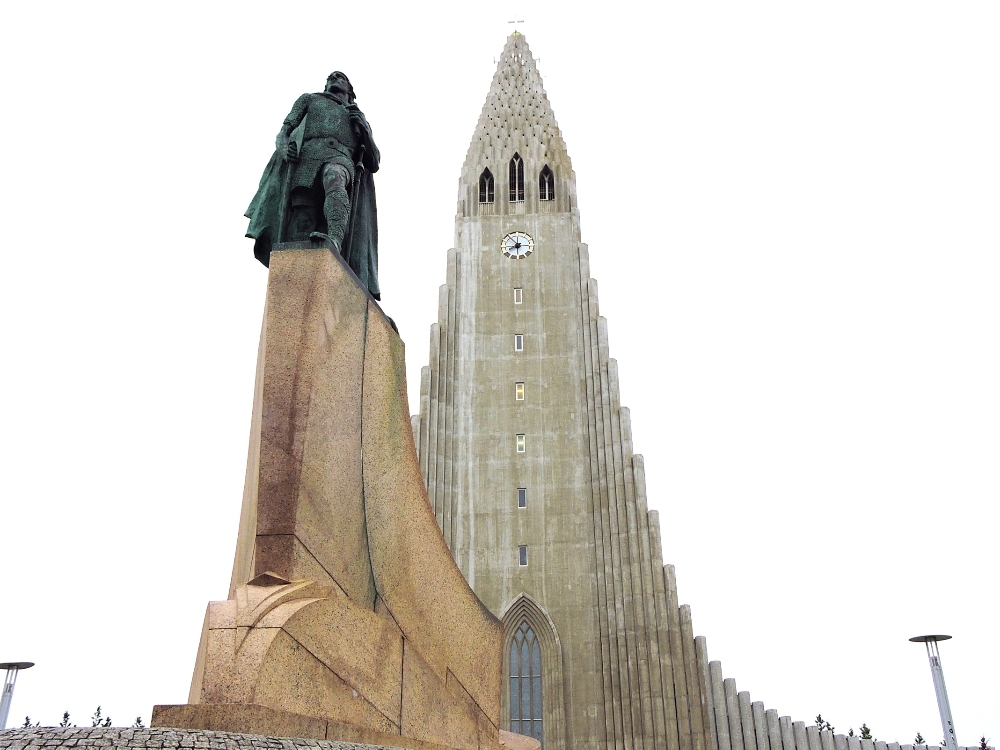
On my Tour, cycling began with a ride from the airport to the center of Reykjavik, located about 50 km away. I must say that with all the annoyances I faced over the previous two days, I was not in a particularly good mood, and that short ride didn’t help matters much. It was misty with wind, and, as often happens, the route from the airport had heavy traffic. I also have to admit that I didn’t find Reykjavik all that appealing from an esthetic, or urban design, perspective. I expected the city to seem like a smaller version of Copenhagen, with cyclists all over the place, but like the rest of the country, motors were in control. The very center of the city was nice enough, but the city seems to have expanded dramatically over the past thirty, or so, years, with people moving in from the countryside, and now has many sprawling neighborhoods that seemed fairly bland to me. Most of the buildings looked as if they had been poured onto the land out of a giant, floating Ikea store. That’s ok, if you like that sort of thing, but it doesn’t quite match my tastes. There is a network of bicycle paths around the city, with most of the problems they usually have, and unless you knew the routes well, or had a good map, which I didn’t, thanks to the missing tablet, it is easy to get lost along the way. Eventually, thanks to pointers given by some friendly locals, I found my way, but my morale was still rather low.
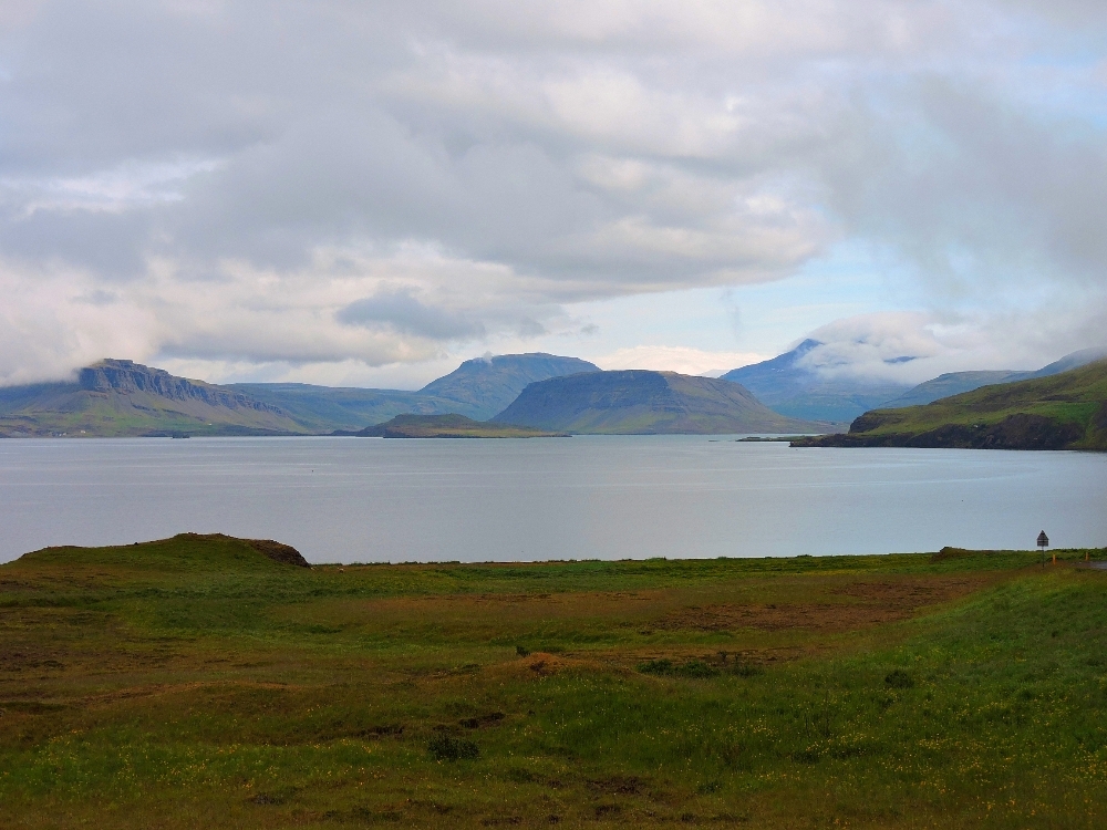
After another day dealing with the recent issues, I began the ride proper, heading north, with some of the start involving the tedious Highway 1. After a while, I reached the southern edge of Hvalfjordur, one of many fjords on the island, and which the highway crosses by means of a tunnel that is closed to bikes. That meant that I needed to used the old road that swung east, then west, around the shoreline of that body of water, adding about 65 km of distance to my route. That actually turned out to be a good thing, since it gave me my first experience with a quiet road through a beautiful area, and that finally made me feel that this section of the Tour would be a good one after all.
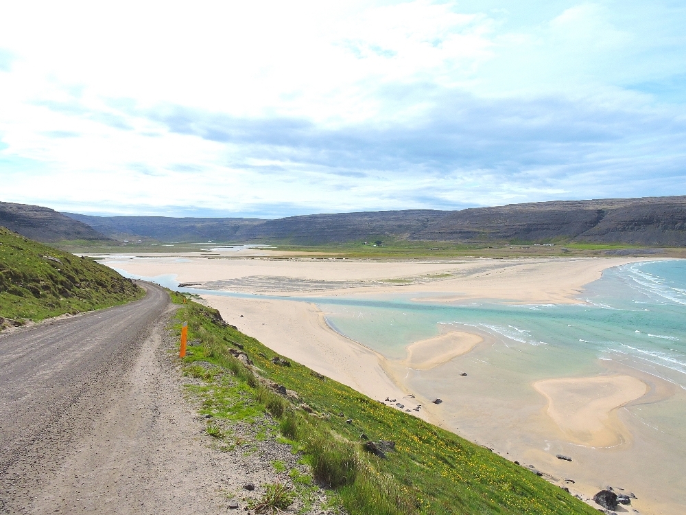
After the town of Borgarnes, I left the Ring Road behind for several days, which was a nice situation, and headed towards the extreme northwestern point of the island. This was a change from my original route plan, one I made primarily because I would end up at one of the island’s best birding spots, the Latrabjarg Bird Cliff, located at the westernmost point of the island. I could have ridden the entire way there, and back, but the main route is long, twisting around many fjords, and includes some long gravel sections. Instead, I crossed the large bay, the Breidafjordur using the twice-daily ferry from Stykkisholmur to the Westfjords region, a province that is very sparsely populated, with minimal services. There was a 60-km section of gravel to deal with at the end of the route, but the condition of that section was tolerable, so I arrived on time according to my plans.
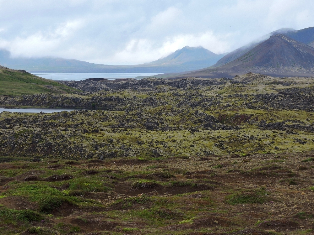
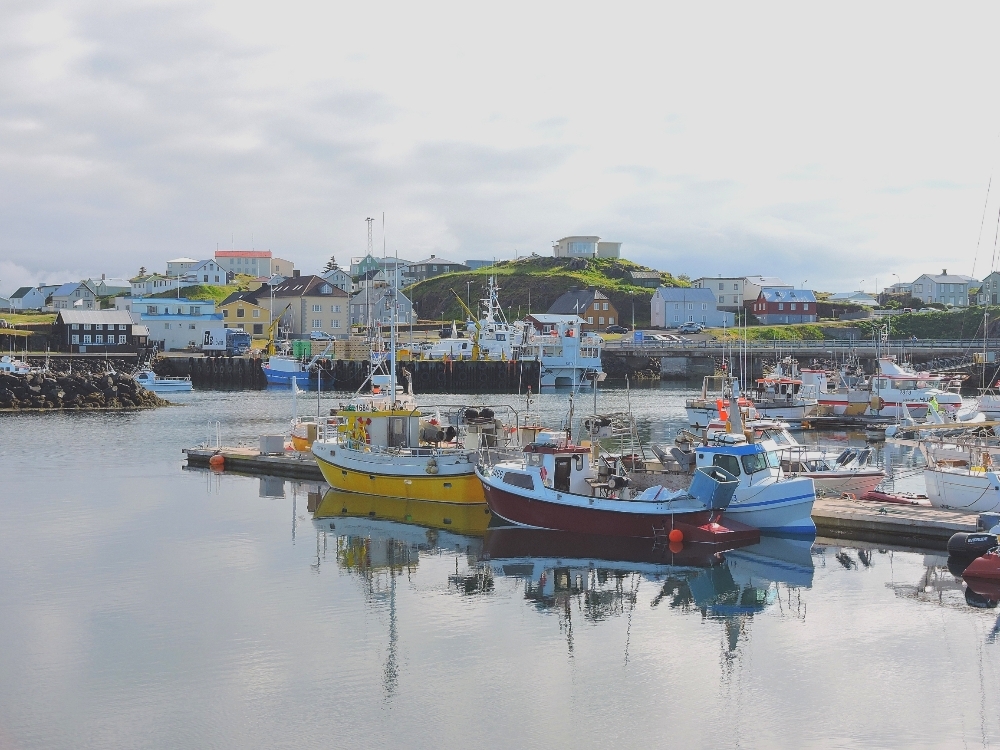
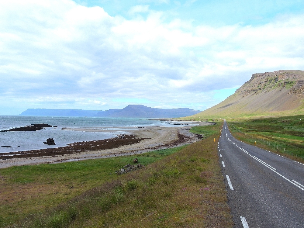
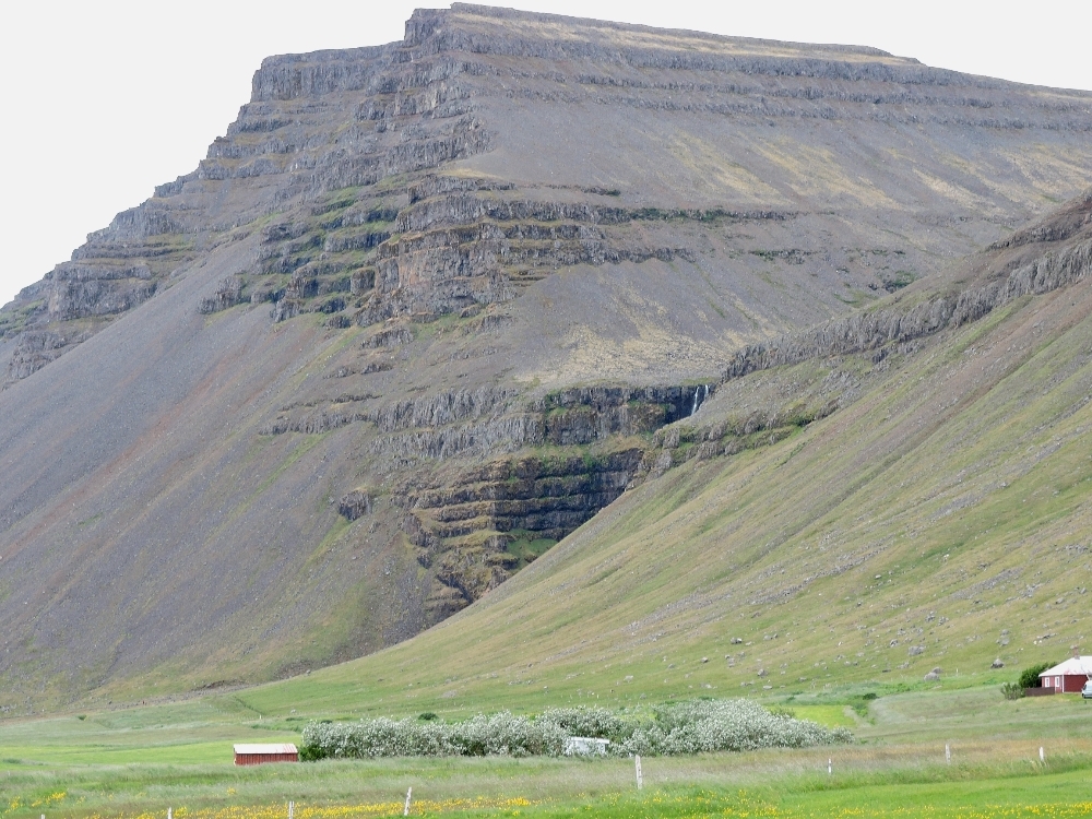
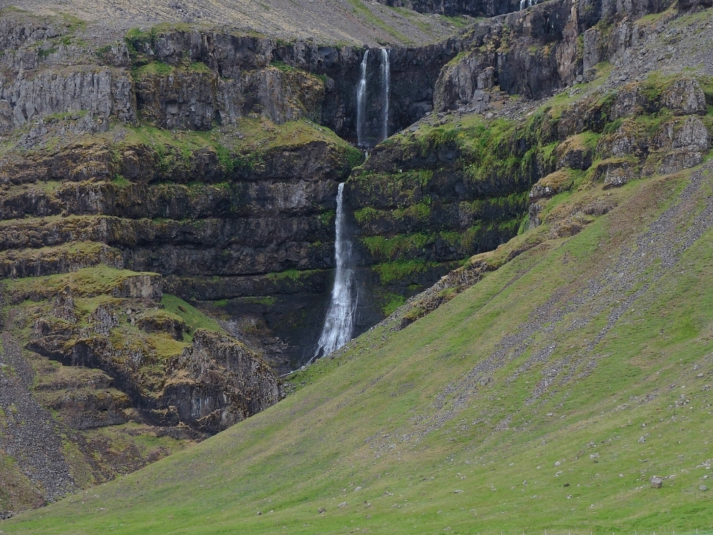
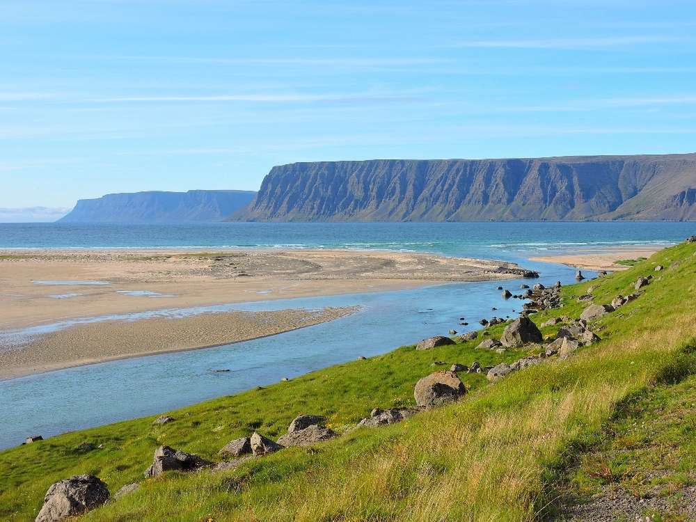
In order to keep my total distance reasonable, I had to, unfortunately, double back using the same route as far as Borgarnes again, though, in this case, I didn’t mind that very much. Stykkisholmur is one of the nicer towns I visited, with a quiet feel and an attractive harbor. I ended up staying there twice, in the afternoons after each ferry crossing, with hopes of making progress with the missing tablet. Progress was limited, but I enjoyed the area anyway. The Snaefellsnes peninsula, where Stykkisholmer is located, and the, more remote, Westfjords both contain some very impressive and interesting scenery. Westfjord in particular, being the farthest distance away from the tectonic rift zone of any point on the island, possesses its oldest rocks and strata, said to be 10 to 14 million years old. I was very impressed by many hillsides where a layered structure, created by periodic lava flows in ancient times, was clearly visible.
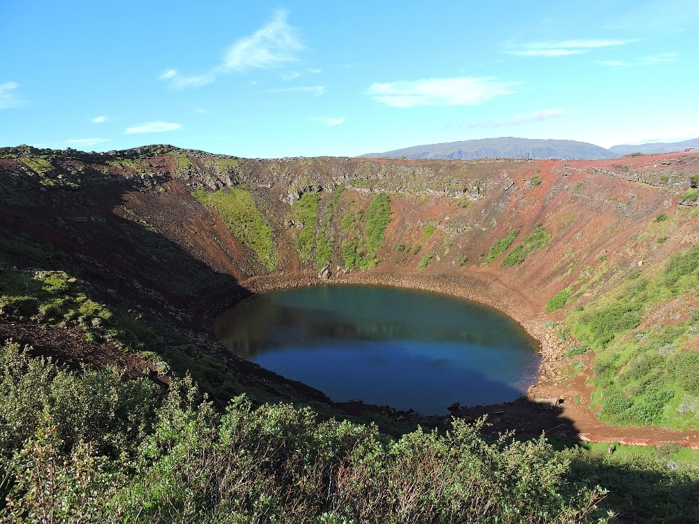
After my second stop in Borgarnes, I took a more inland route towards the southern coast, with a stop at Thingvellir National Park, where the Mid-Atlantic Rift Zone is visible. I had wanted to continue further through the central highlands, crossing the rift zone for a second time, which was a place I really wanted to see, but I had to skip that, once again due to the need to deal with the missing tablet debacle. Perhaps that was for the best, since that route included a long stretch of gravel roads, presumably made from the very abrasive lava rock found there, and I may not have been totally up for that kind of effort at the time. So, I had to settle for the somewhat shorter section in the highlands between Borgarnes and Thingvellir.
Next, I reordered my next two destinations, primarily because I thought I might have better communications possibilities that way. As it turned out, that was a very fortunate decision, but for weather reasons, instead. Therefore, the next stop was the very interesting Vestmannaeyjar, the Westman Islands
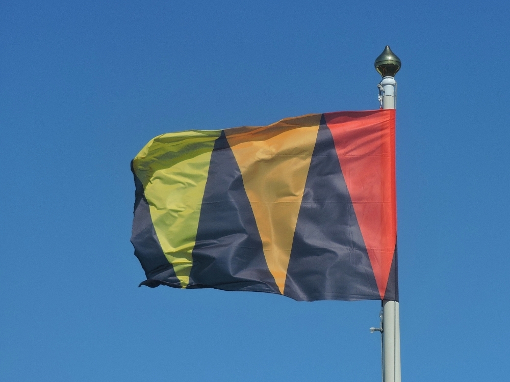
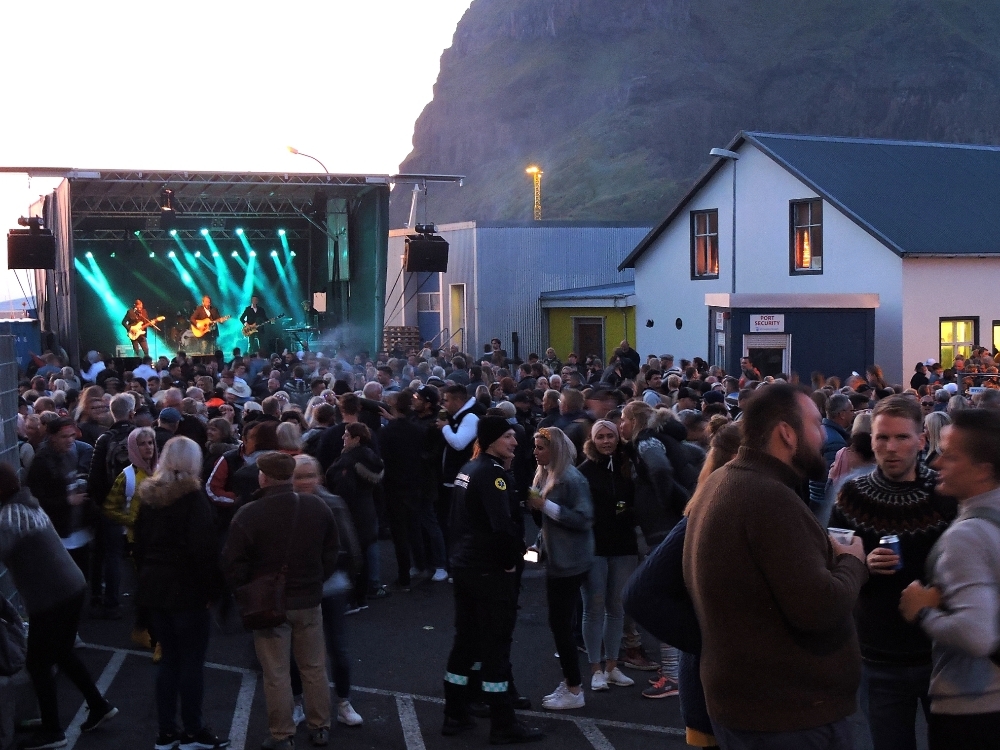
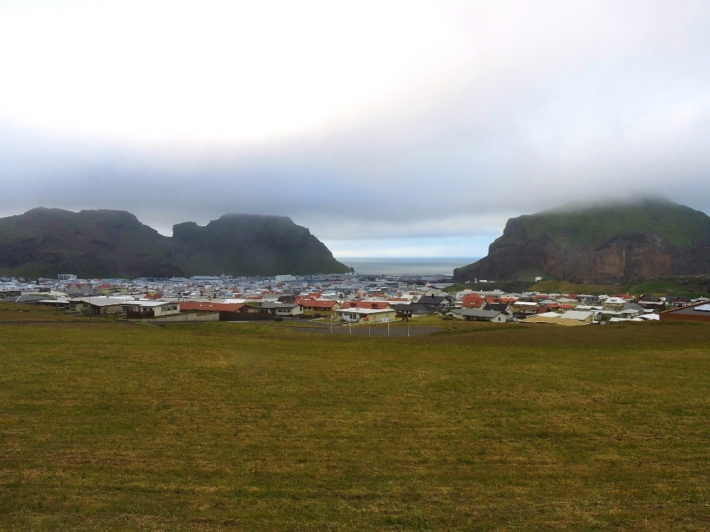
, so named to commemorate the Norse-Irish monks, who were their earliest residents. Reaching the main island, Heimaey, involved another short ferry, and I was initially amazed at how many passengers were crammed on board. I soon learned that, by chance, the day I arrived was End of the Eruption Day, a local celebration that remembers July 3rd, the day in 1973 when a volcanic eruption that almost destroyed the town ceased for good, and many people from the surrounding areas on the mainland had come to participate. I remember seeing movies in school, when I was in the fifth grade, about the eruption on Heimaey, and how the townspeople valiantly tried to slow the movement of the lava by dousing it with sea water using great high-pressure nozzles, with some measure of success. The town was decorated with black, red, orange, and gold ornamentations, the colors of ash and fire, which reflected their spirit of survival. That night, there was a big party at the harbor in the dusky light between midnight and 5 AM. I put in a brief appearance, but sleep pulled me away from that before long.
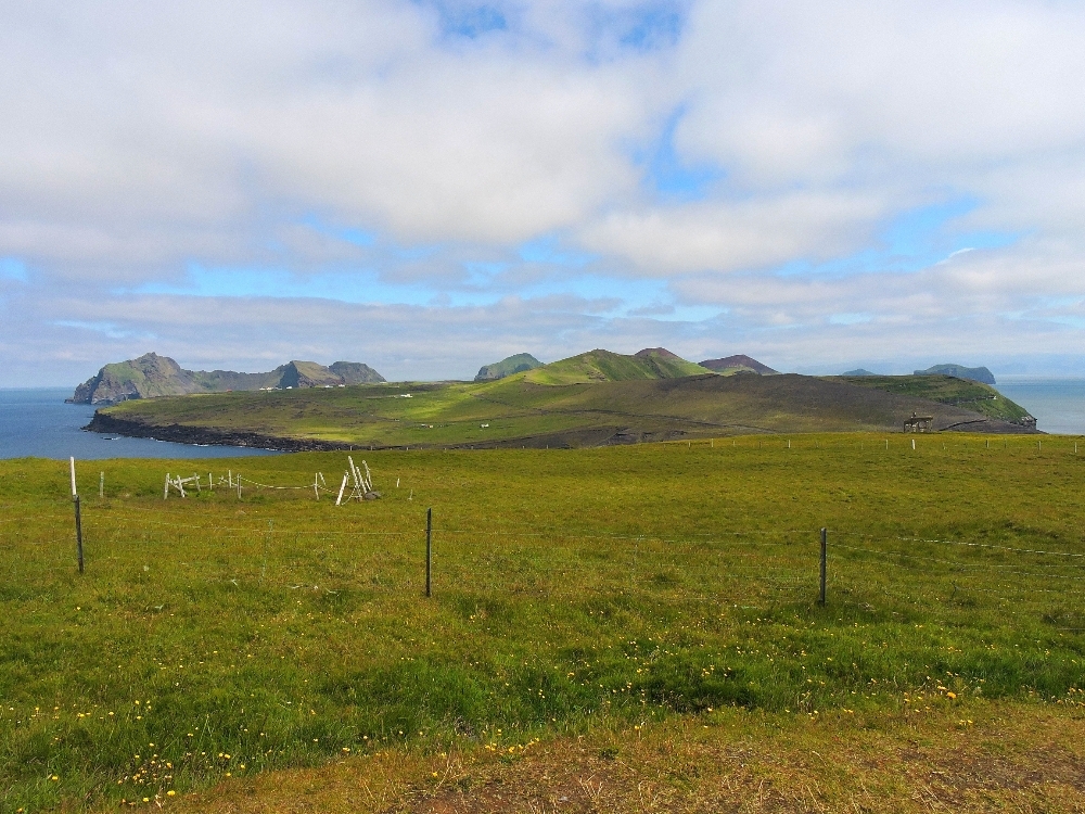
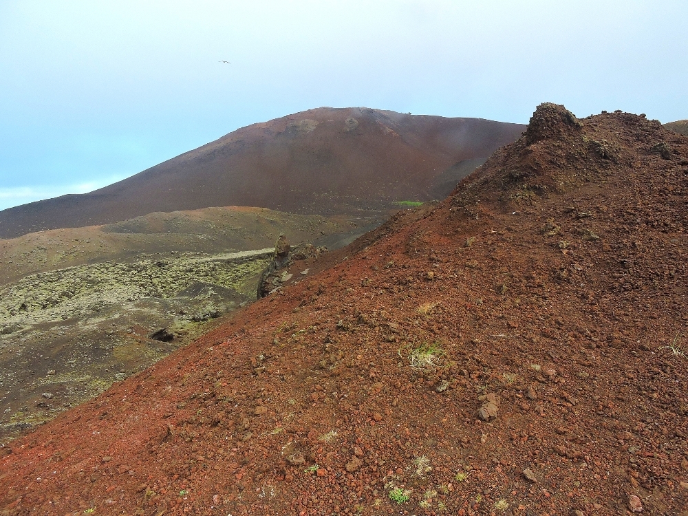
The town on Vestmannaeyjar was perhaps my favorite place in Iceland. Being located on a small, confined, volcanic island, its population of a little over four thousand lives in a nicely compact, easily walkable town, surrounded by craggy volcanic peaks and the sea beyond. I was also pleased to see that, unlike the other places I saw in Iceland, most of the tourists I saw around the town seemed to be Icelandic natives, as opposed to the crowds of international folks common elsewhere. That may have been an effect of the holiday, but it was nice to see, anyway. I spent two pleasant days there, involving only a little cycling along the short roads out to a point that is good for viewing birds. The town was also my base for the boat trip to Surtsey that has its own separate post in the World Heritage section. The rest of the time I visited the interesting Volcano museum, a smaller folklore museum, and a relatively new aquarium at the harbor, which, also by chance, was displaying two rescued beluga whales for the first time on that day. All of this was made more enjoyable by the nicest weather I had while in the country, though that would not last for long.
My final destination was Vatnajokull National Park, and to get there I needed to return to the mainland and head east for a couple of days on Highway 1 once again. That should not have been much of a task, but after a half day, as I entered the touristy town of Vik, a horrendous headwind arose, and prompted me to stop there for the day, where the only available accommodation was at a hotel that was even more overpriced that the others I had recently used. Unfortunately, the following day conditions worsened, with a drizzly rain now being blown horizontally by the same headwinds from the previous day. People there said that Vik often has noticeably worse weather than anywhere else in the area, which made me wonder why that particular place was a made into a lonely resort town. Rainy conditions are usually unpleasant, but I will ride through them if necessary, and I have on many occasions, however, that day with the busy, narrow road involved, the situation would have moved from merely unpleasant to significantly dangerous. Therefore, I spent another expensive day resting there, raising my head periodically to look out the window, only to fall back again when I saw that the rain was still moving parallel to the ground. I was displeased that this may have spoiled my visit to the Park, but with improving conditions the following day, I was easily able to cover the remaining 140 km to get there. However, with the long hours of summer daylight still occurring, I still had plenty of time left that day for a nice hike, so all was not lost.
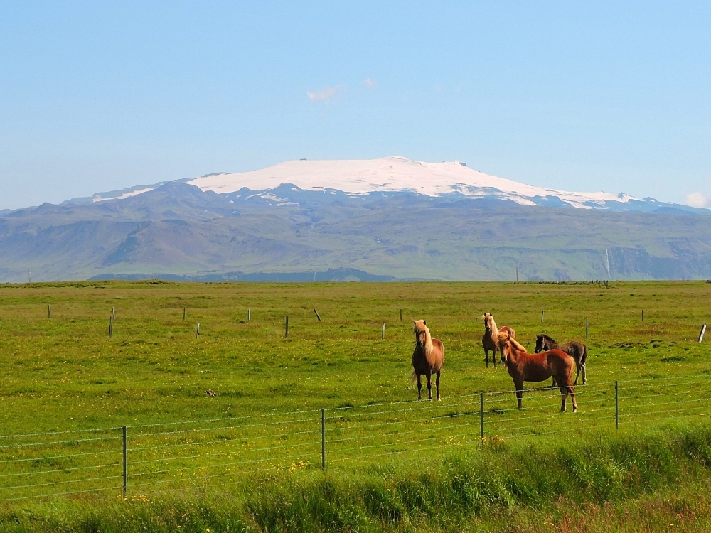
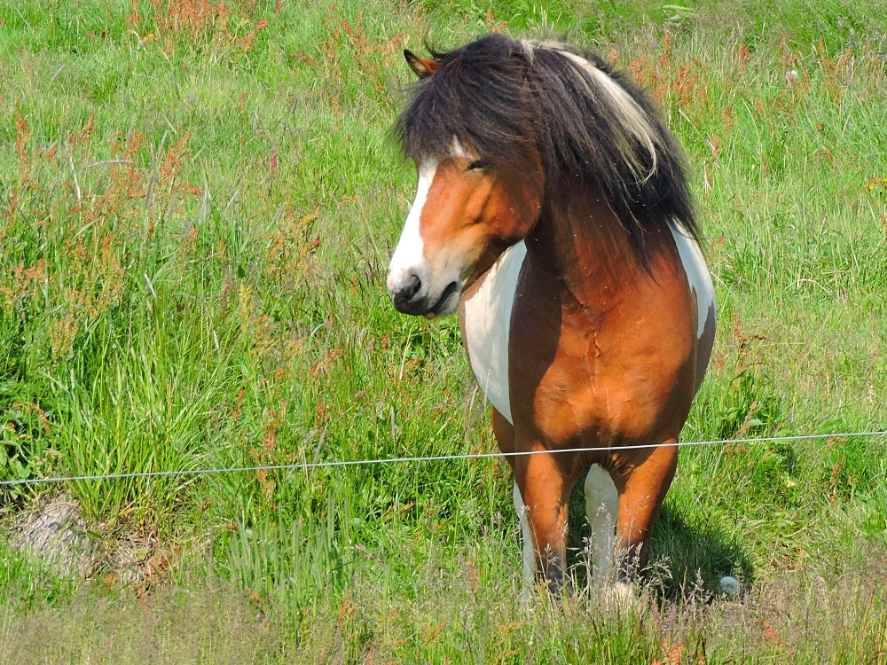
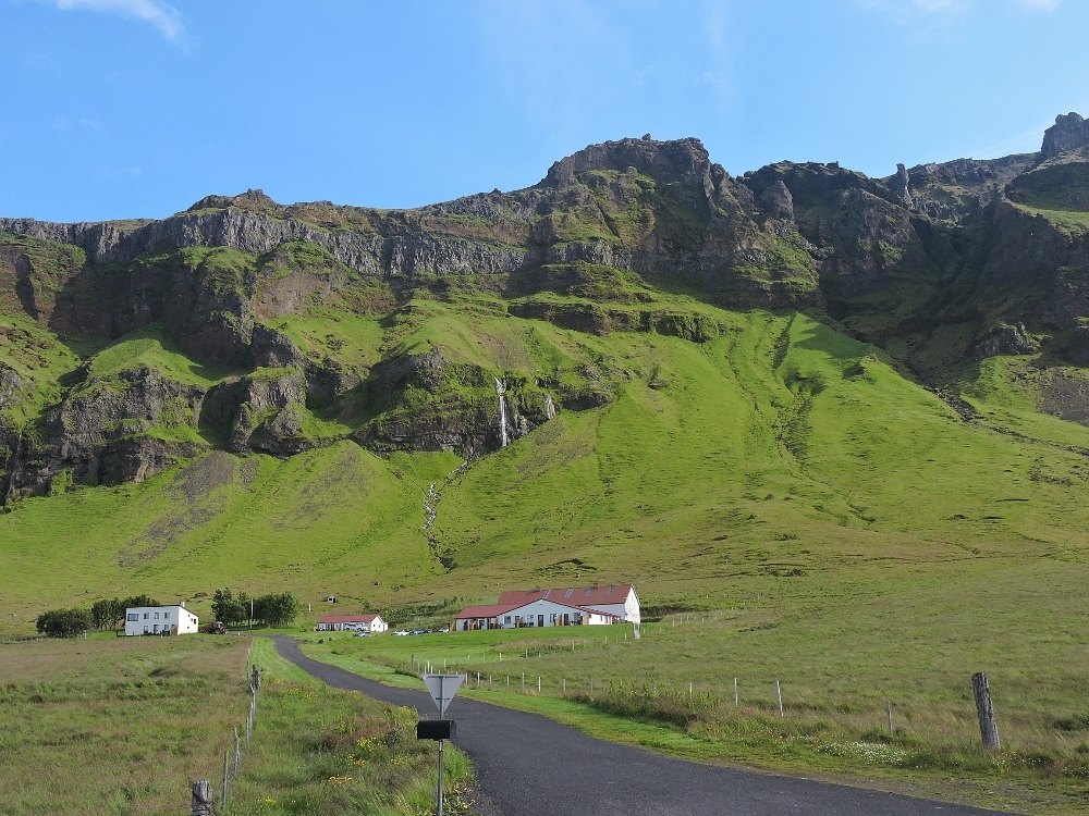
Being a little late at that point, I returned to Reykjavik by bus the following day, bringing to a close the main part of the section of the Tour on Iceland, though there would be a couple more days available before my return flight, two weeks hence. I am happy that I was able to include a visit to Iceland as part of the World2 Tour. I may have enjoyed it more without the annoyances I have mentioned so frequently already, but sometimes things like that happen. A stand-alone tour with a more relaxed schedule, and a very large budget, may have been preferable to a small section of a much longer tour, but once again, sometimes these things cannot be worked out.