The title of this post sums up the situation nicely. Why would someone on a long bicycle tour include a stop on the massive, but sparely inhabited, island of Greenland? Though I am not trying to sound pretentious, by this point in my life I have been to 60 countries around the World. That is actually not a lot, compared to those people who are really serious travelers, but it is enough that for me there are relatively few places on the Earth left that hold that certain mysterious magnetic pull that makes one desire to visit, even if such a visit would seem to be a remote possibility. Being the largest island on Earth, with the second largest ice sheet, and being a country three times the size of Texas, but with a population less than sixty thousand human inhabitants, and possessing a primarily Inuit culture, but with a strong Danish influence, Greenland was one of the few remaining places that had that sort of attraction for me. So, since I was already going to be in that corner of the globe, I was determined to see as much of that huge land as I could, even though my bicycle would, more often than not, be an expensive piece of luggage, as opposed to a means of conveyance, during that section of the Tour.
Most of the country’s population lives on the island’s west coast, and most of them reside in the capital city, Nuuk, with the remainder inhabiting four or five small towns, and several dozen smaller settlements. Travel between all of those places can only be done by boat or aircraft, and, while I tried to use the marine option as much as possible, I did end up taking to the air on some occasions. Politically, the country still is a unit of Denmark, but enjoys a significant amount of home rule. I asked a few people if they would prefer full independence, and the response was usually that, yes, they would, but most also felt that with such a small population that they would not really able to handle that at this time. I suppose I understand that sentiment, but as someone who dislikes most traces of Colonialism, I would like to see the country go their own way at some point. As of now, the Danish connection is not all that apparent, apart from the Kroner being the currency in use on the island, and some of the design aspects of the modern buildings. The Greenlandic language is the most common spoken language, and though it seems like a tough language to learn, even the residents who seem to be of mainly European heritage speak that language frequently in addition to Danish, which I think is great. Most people also speak English quite well, which does make things much easier overall. Like Iceland, however, visiting the country is a significantly expensive affair, though in this case, given the isolation and distances involved, that is more understandable. Of course, as a polar country, it is the climate that exerts the most control over daily life in Greenland. Consequently, I made every effort when scheduling the Tour to be in the area during the bright month of July.
There are currently two main international airports in the country, though a program of airport expansion is due to be completed within the next four years, and I am not really sure that is a good idea. Both of the current airports were once U.S. military bases, dating back to World War II and the early years of the Cold War, but have since been converted to civilian use. Both also remain as significantly isolated as the earlier bases had been, with only tiny settlements nearby whose sole purpose is to service their operations. I arrived at the most southerly of the two, the airport at Narsarsuaq, after a direct flight from Reykjavik. I usually roll my eyes when I see people taking pictures out of an airplane window, but in this situation I couldn’t resist doing that myself. The East Coast of Greenland, where I first viewed the island, possesses its harshest environment, which it why most of the people live on the other side. This was evidenced by the view I saw, pictured below.
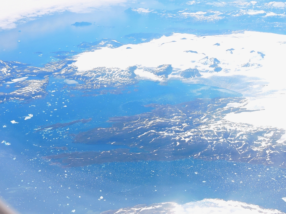
At that point, I was thinking: The first thing I need to do when we land is try to find a place to buy some warmer socks!
The next few minutes didn’t ease that feeling much, since the Greenland Ice Sheet soon appeared below. But it was fascinating to see its massive scale from that viewpoint, with its numerous fields of twisted crevasses, and occasional pools of meltwater on its surface. However, as the plane neared the west coast, the terrain below suddenly began to appear more welcoming. It still looked rocky and barren, but without the cover of ice and snow. Progressing further, I could see that what appeared barren from higher up was actually quite green, in fact it is said that this area was the place that put the Green
in Greenland. Stepping off the plane after landing, I was quickly taken aback by just how pleasant and warm the day actually was, which was quite a relief. I had several hours of time to kill, so, though I really didn’t need to use it any time soon, I reassembled the bike, since it did make moving the rest of my baggage around much easier.
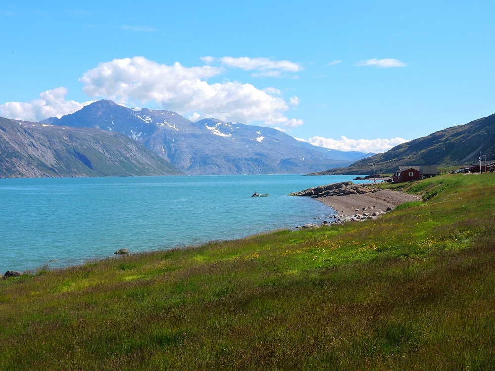
There was also enough time to take a boat over to the other side of the local fjord to see part of the Kujataa WHS, which is mentioned in a separate post. However, my next main destination was the town of Qaqortoq which can only be reached by boat or helicopter from Narsarsuaq. Of course, I took the boat, and it was an exhilarating 1.5 hour trip through the beautiful glacially-carved landscape of the area. Qaqortoq, a town of around three thousand inhabitants, is the educational and cultural center of southern Greenland, since it hosts the area’s only high school, and it quickly earned a place on my list of favorite towns of the Tour. It was more like what I had expected towns in Iceland to have been like. Centered around its active port, at which two supply ships, three cruise ships, and numerous local transports called during my stay, the town’s Danish-inspired houses, painted in various primary colors, creep up the surrounding hillsides in a attractive, but compact way. With no road connections there are pleasingly few motorized vehicles in town, with around half of those that are there being taxis, which is the way all towns should be. It was nice to see the residents walking around the town to get to their daily activities, and also a smaller number who used bikes.
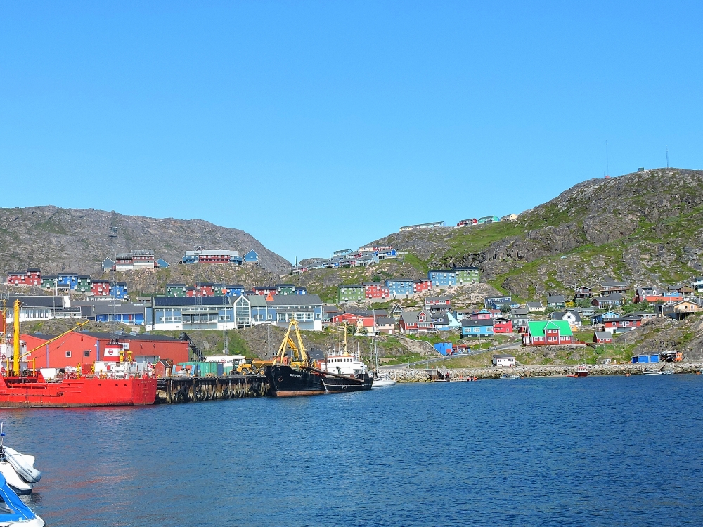
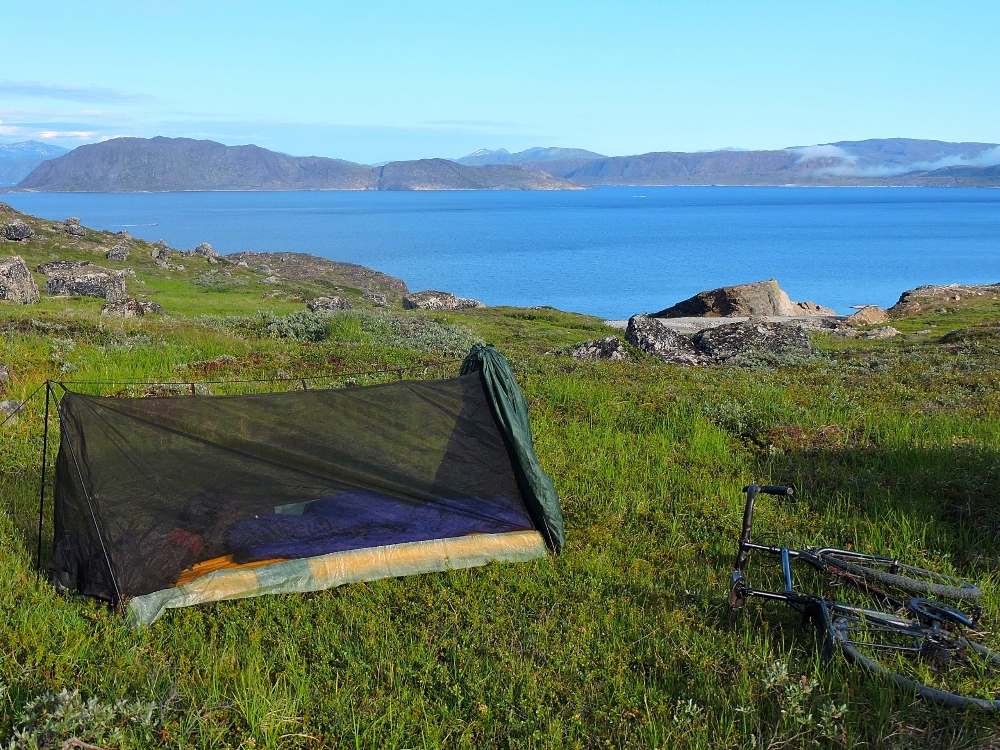
I had three and a half days to wait there for my next connection, heading north, which may have been a little more time than I needed to spend there, but I enjoyed it anyway because it was such an eclectic place. To save some money, I rode out of town as far as I could, only about three kilometers, in order to camp on two of the four nights I was there. On the way back into town one morning, two local men stopped me and asked: We are looking for our lost dog. Have you seen him? He is a Chihuahua…
That was definitely not the sort of thing I expected to hear in Greenland. In another oddity, one of the two restaurants in town is a Thai restaurant, where one can order traditional curries or stir-fries made with Reindeer or Muskox meat.
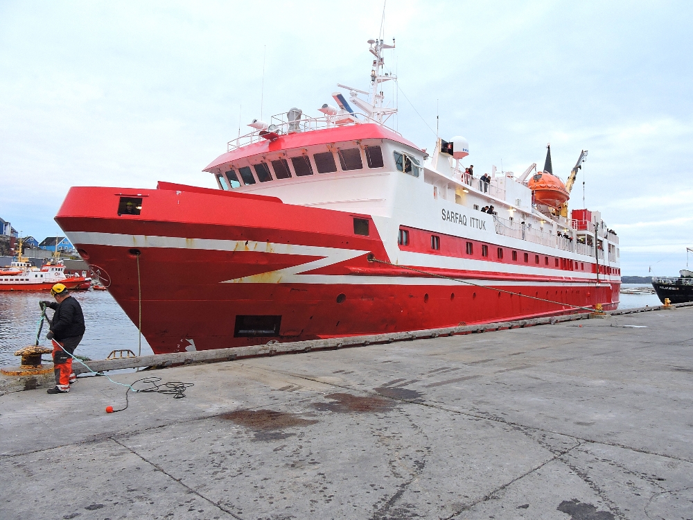
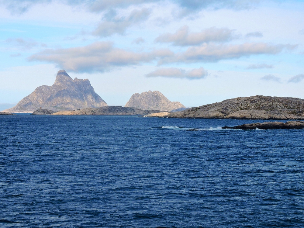
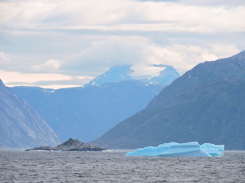
After a while, my next transit connection arrived, the ferry Sarfaq Ittuk, which makes a weekly circuit along the entire west coast of Greenland, connecting its otherwise isolated towns and settlements. I booked a private cabin for a journey to the capital, Nuuk, which lasted about 34 hours. The early part of the route was the most interesting, since the ship traversed several of the fjords and bays of that area in order to reach its first two ports of call. Later on, the ship spent relatively more time out in the Labrador Strait, where conditions were a little foggy, and the seas caused the ship to sway, somewhat adversely affecting numerous passengers. Despite that, it arrived on time in Nuuk early on a Friday morning, after a pleasant enough voyage.
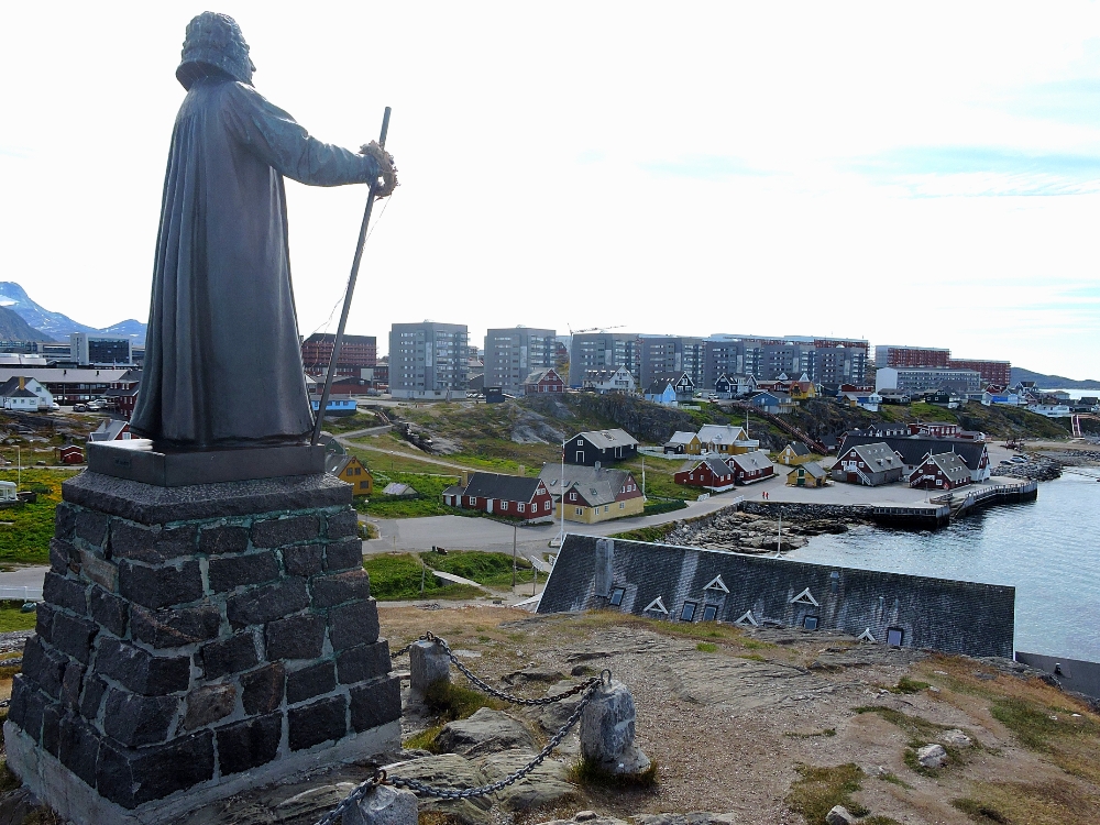
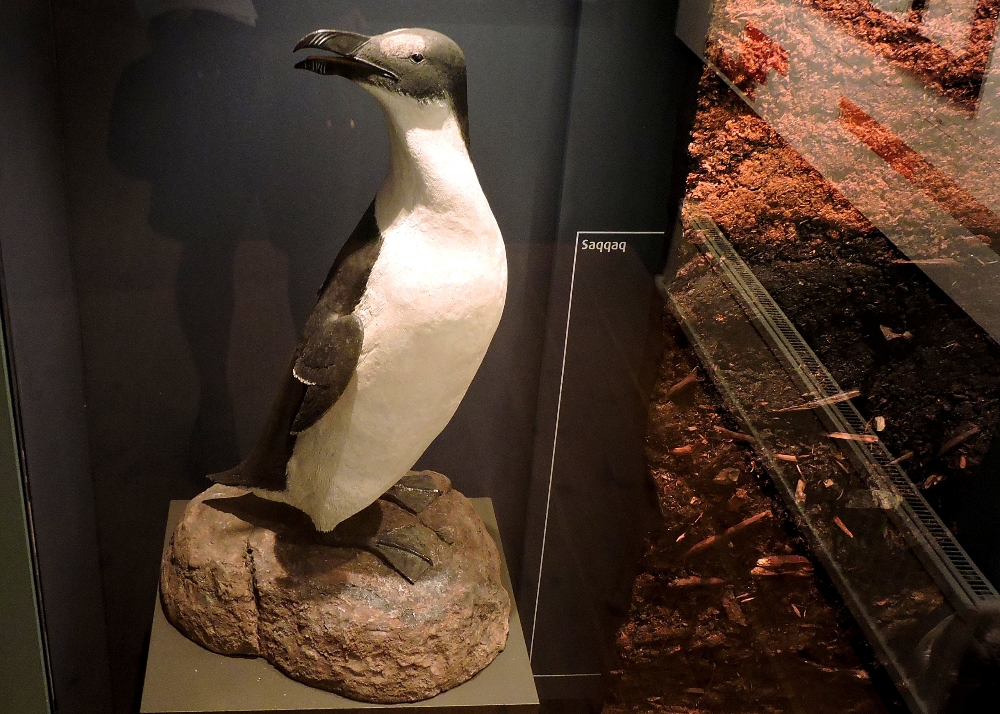
Nuuk is the capital of Greenland, and its largest city, by far, but with a current population of less than twenty thousand people it does not feel particularly large. The character of the town felt somewhat more industrial, and somewhat more polar, than the towns further south had. It also does not quite have the feel of a national capital, as there are no foreign embassies, or major government buildings, since most of those functions are still handled by Denmark. Nevertheless, it is easy to get around by walking or cycling, and was reasonably pleasant overall. However, I had relatively little to do there and, apart from a nice visit to the National Museum, I spent most of the two days I was there relaxing.
My next stops, still further north, required me to employ a more fuel-intensive mode of transport, which was not to my liking, but that drawback was counteracted somewhat by the fact that I would soon be getting back on the bike, albeit rather briefly.